
Stories
Story map: Kenya’s water towers
Clear stories from Kenya’s mountain forest water towers, from the founding Aberdare fence to Mount Kenya, Kakamega, Mau and Eburu. See the evidence on each landscape, then open the live map to explore further.
 410 km fence
Chapter 1 · Where it began · 410 km fence
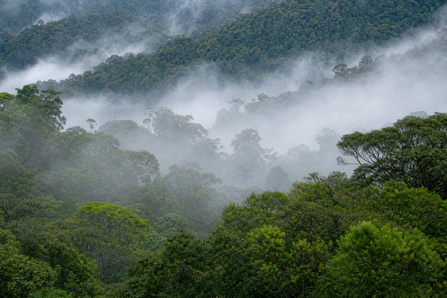
Aberdare Range
Mist-shrouded ridges and deep valleys north of Nairobi. On the map you will see the completed fence ring, programme links for joint patrols and rhino salient work, and filters for water, wildlife and communities.
 316 km fence
Chapter 2 · Water tower · 316 km fence
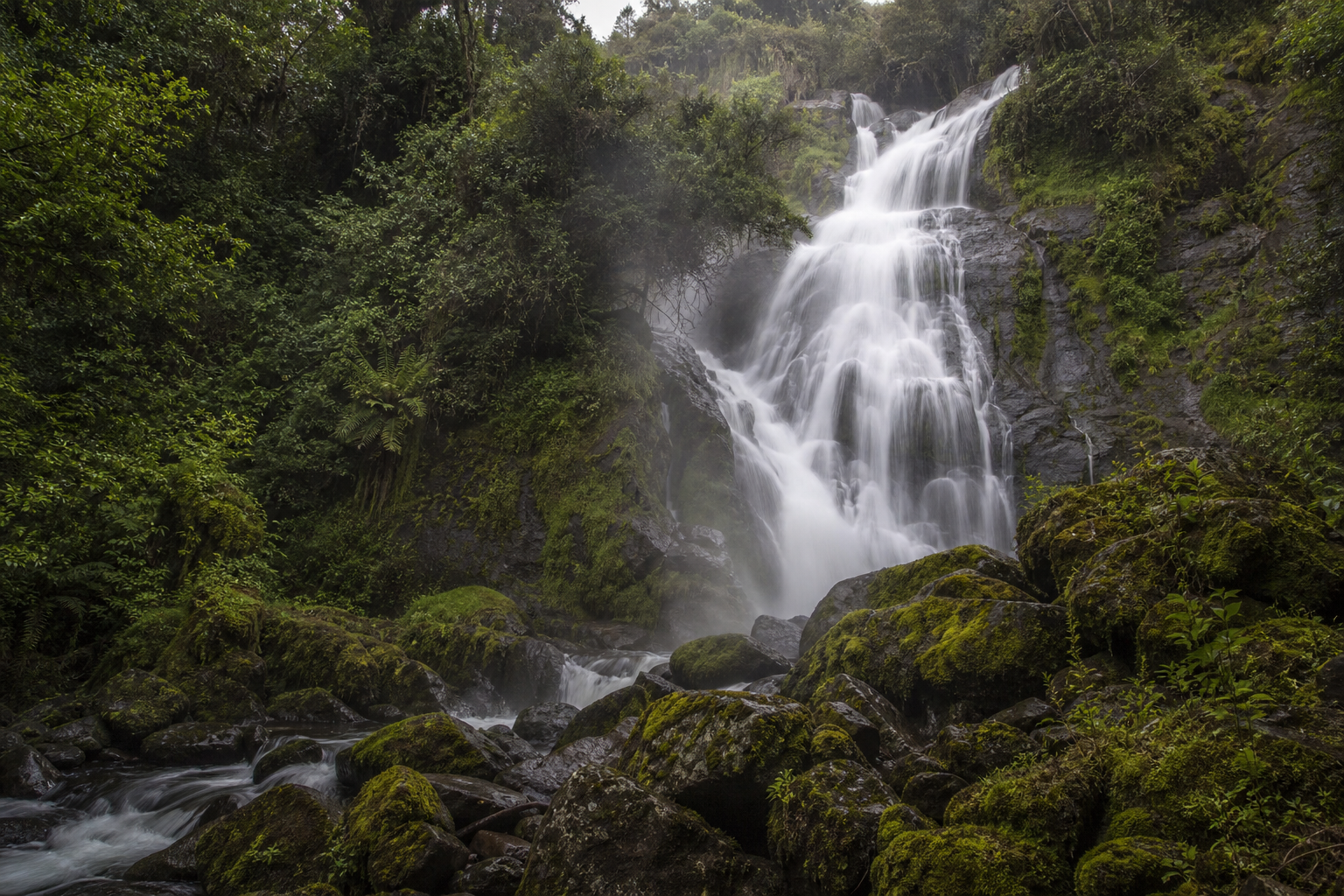
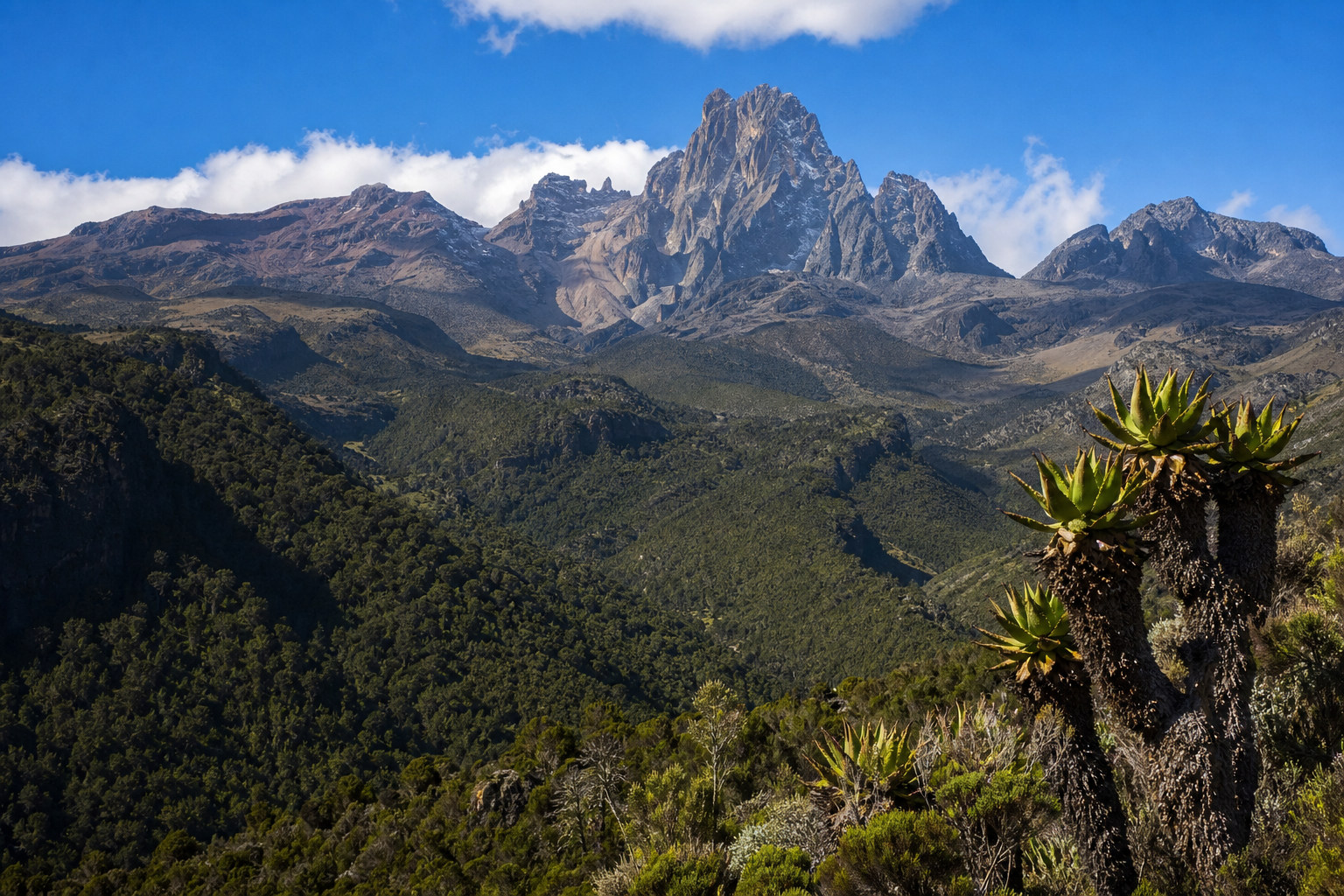
Mount Kenya
Africa’s second highest peak, snow-capped above forest belts. The marker shows fence progress toward a full circuit, with species notes for elephant and bongo and a link to the Mount Kenya fence programme.
 50 km fence
Chapter 3 · Tropical rainforest · 50 km built
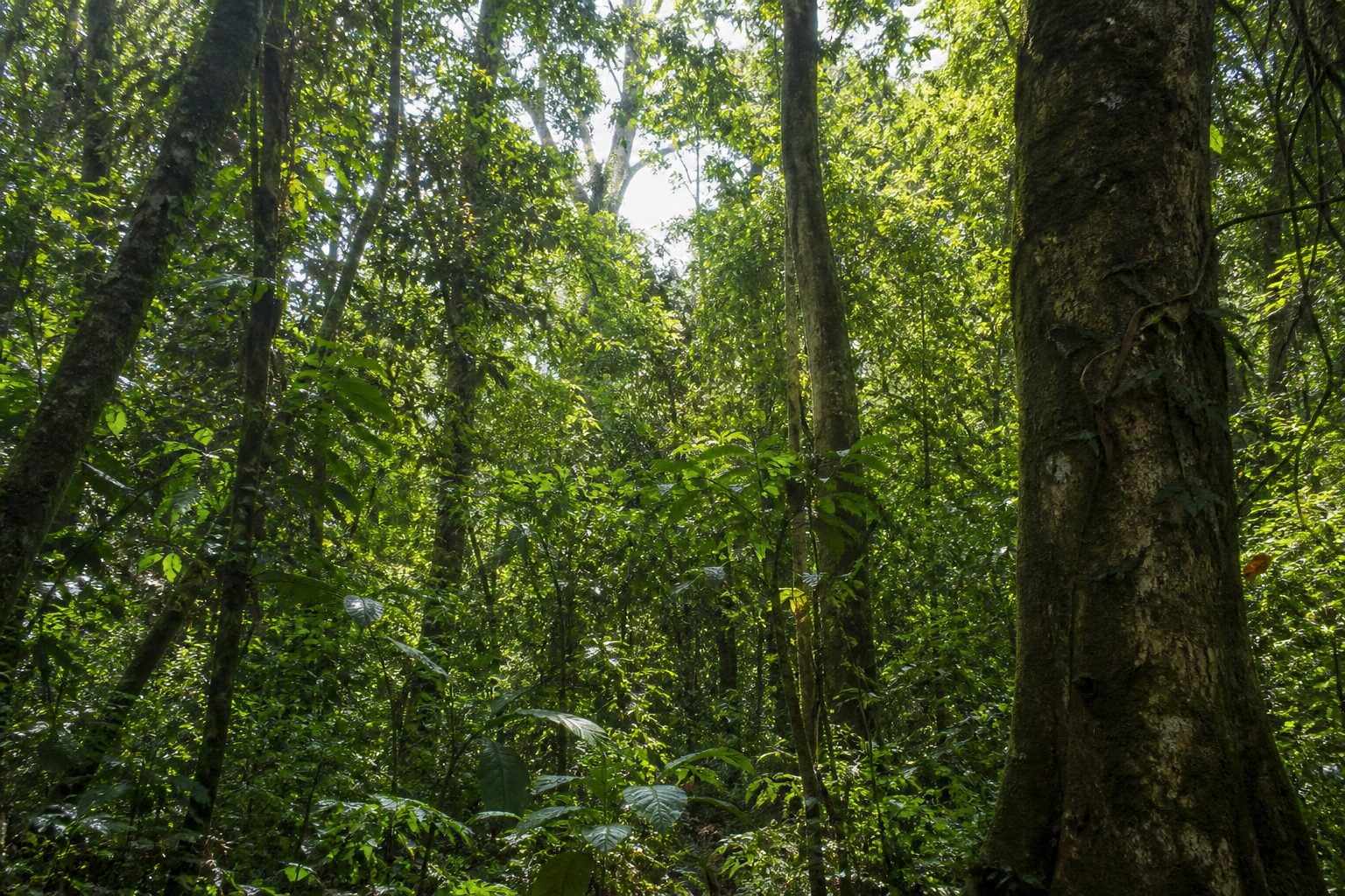
Kakamega Forest
Western Kenya’s last tropical rainforest pocket, rich in birds and forest specialists. Explore the partial fence line on the map, community filters, and the Kakamega Forest project page.
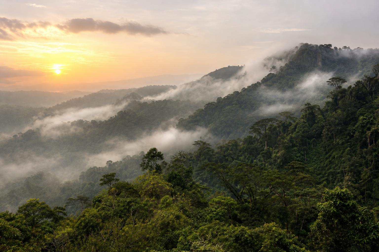 32 km fence
Chapter 4 · Education & fencing · 32 km
South Western Mau
A vast Rift Valley forest block feeding the Sondu Miriu river. The map highlights early eastern-boundary fencing, education programmes with ISLA, and elephant presence in this landscape.
- 43 km fence
Chapter 5 · Mountain forest network · 43 km
Mount Eburu
A compact indigenous forest on the Mau’s eastern flank, known for bongo and forest birds. Open the pin for the closed fence loop, monitoring programmes, and the Mau Eburu project.
Field stories
Where we are, who is involved, what changed
Continue on the live map
Filter by wildlife, water or communities, search landscapes, and open each place for programmes, species notes and evidence.
Explore Where We Work